
文字
背景
行間
English Digest Guide
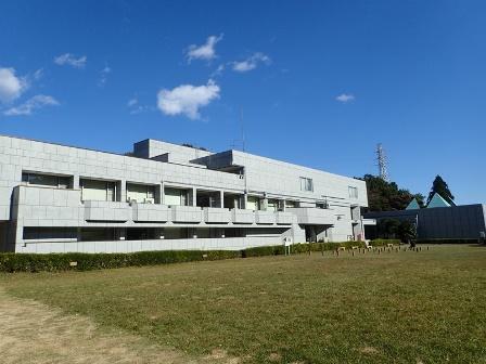
Saitama Prefectural Ranzan Historical Museum
English Digest Guide
About Saitama Prefectural Ranzan Historical Museum
Saitama Prefectural Ranzan Historical Museum is located within a nationally designated historic site ”Sugaya Yakata Castle”. Through the current state of the remains of a castle from Sengoku period, visitors can envision the foundation of the medieval castle by seeing materials such as earthworks and the moat. It is also traditionally known as the site of the palace of Kamakura period samurai Hatakeyama Shigetada, 300 years before Sengoku period.
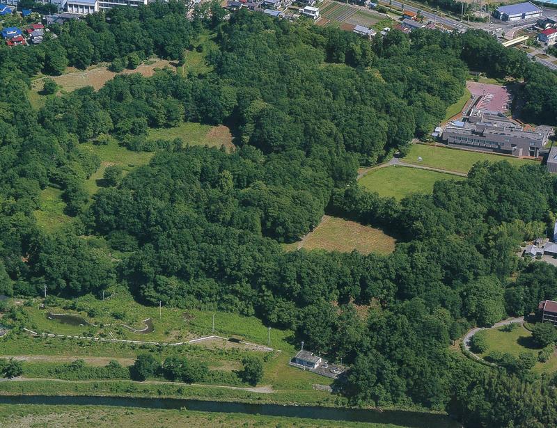
Sugaya Yakata Castle